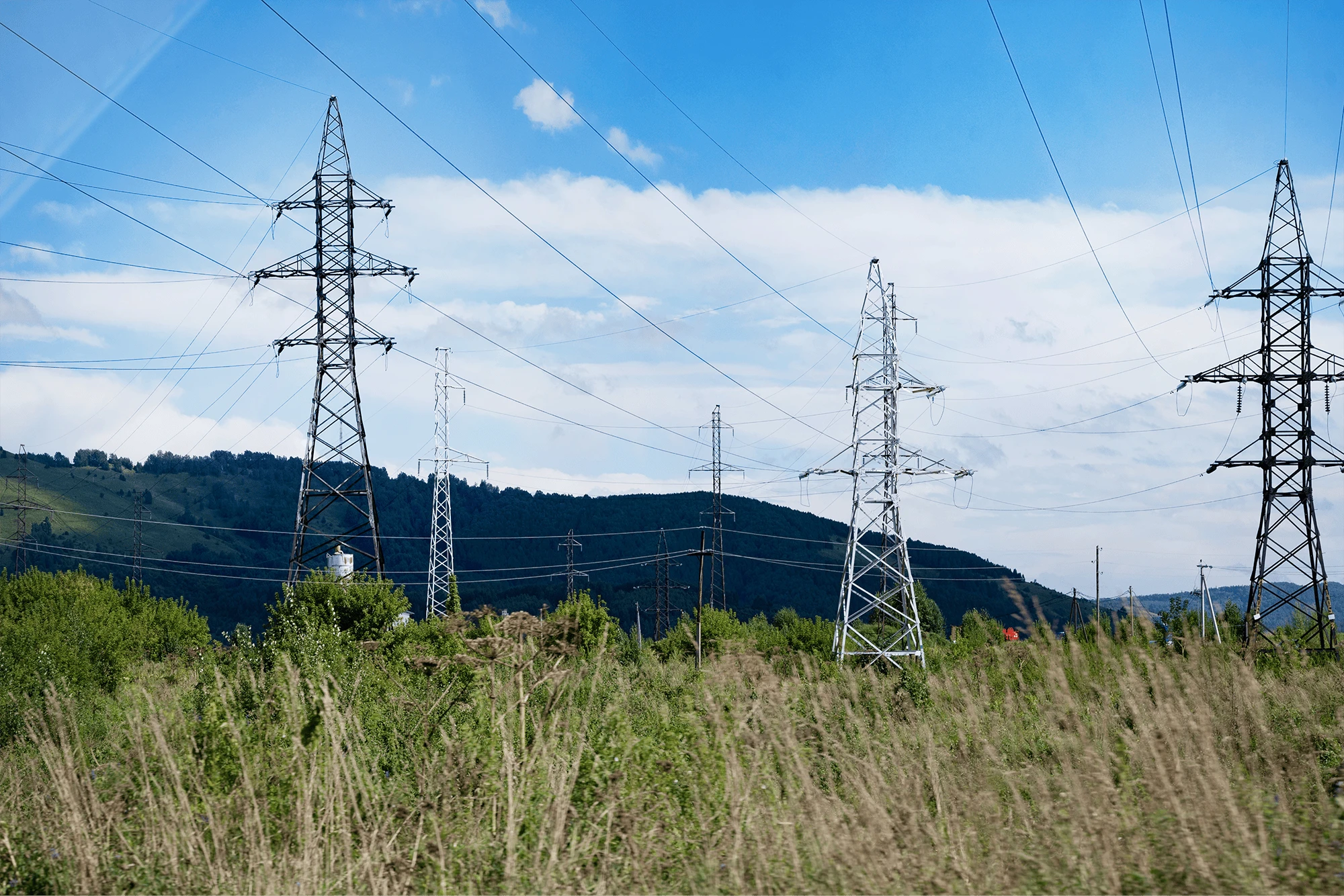
length of the grid managed by ENTSO-E members in need of right-of-way enroachment monitoring
ENTSO-E September 2014
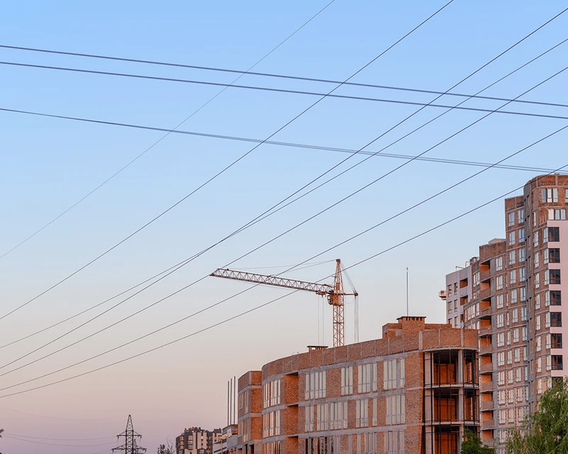
Imagine a scenario where a construction crew broke ground just 12 metres from a 400 kV transmission line, and nobody noticed for eight months, until the next helicopter patrol.
Incidents like this cost European grid operators millions each year in emergency inspections, legal disputes and forced demolitions. And with each TSO managing tens of thousands of kilometres of overhead lines, the gaps between patrols are growing.
Right-of-way encroachment monitoring
Why this matters: unauthorised buildings, earthworks or land‑use change near high‑voltage lines can breach clearance requirements, increase the likelihood of faults, complicate maintenance access and heighten wildfire risk. The risk is uneven and hard to spot consistently without repeatable, wide‑area data.
The challenge? Traditional monitoring relies on periodic ground patrols and helicopter surveys. These approaches are expensive, can miss rapid change between visits, and are difficult to scale across thousands of kilometres of infrastructure, especially in remote or difficult terrain.
Envato
Introducing Earth Observation
Copernicus, the EU’s Earth Observation programme, provides free and open data that can support consistent and targeted monitoring of powerline corridors.
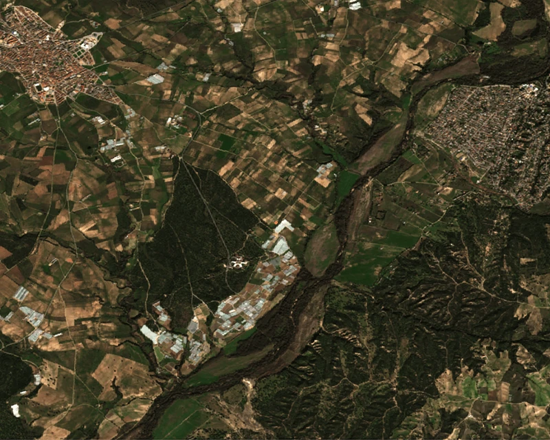
Copernicus Sentinel‑2 imagery provides a consistent optical backdrop, while Sentinel‑1 radar complements it when cloud cover limits optical views.

Defining the right‑of‑way and baseline condition
In a selected area of interest, the right-of-way (ROW) corridor provides the frame for monitoring: anything new inside or near the corridor may require further investigation.
In this context, Copernicus Land Monitoring Service layers help interpret the local context, such as baseline land cover, imperviousness, and vegetation layers along infrastructure corridors.
Also, they support differentiation between natural vegetation change and unauthorised construction. All this reduces false alarms and supports risk‑based prioritisation.
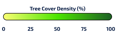
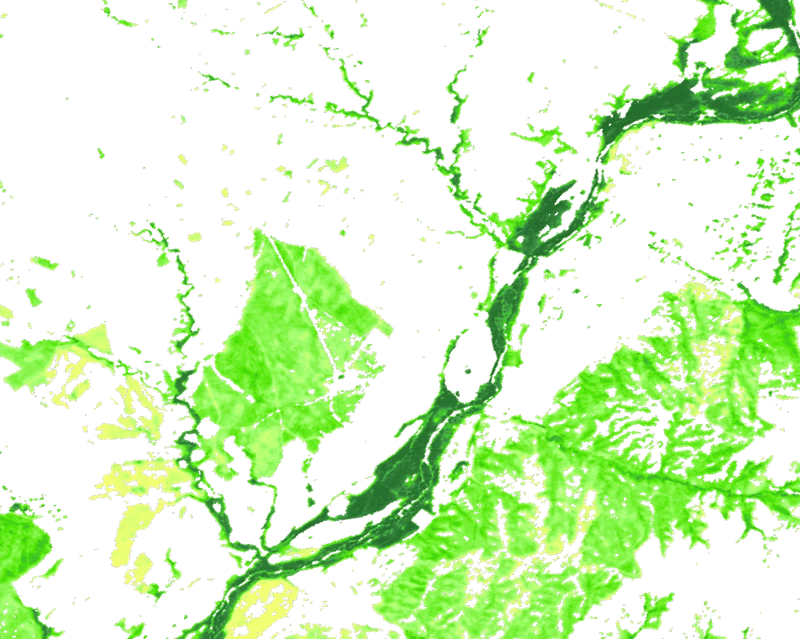
The Tree Cover Density layer from Copernicus shows the proportion of land covered by tree canopy within each area. Higher values indicate denser vegetation. Source
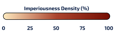
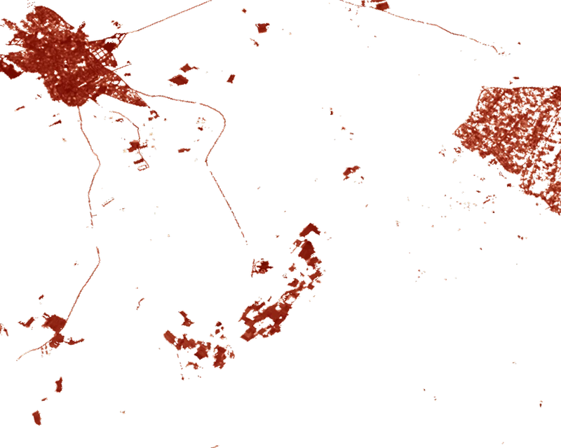
The Imperviousness Density Layert fro Copernicus quantifies the proportion of sealed surfaces (roads, buildings, and pavements) within an area. The Imperviousness Density is updated every 3 years, so it can't be directly used for monitoring, but can nonetheless provide useful context. - Source
Detecting new construction and triggering alerts
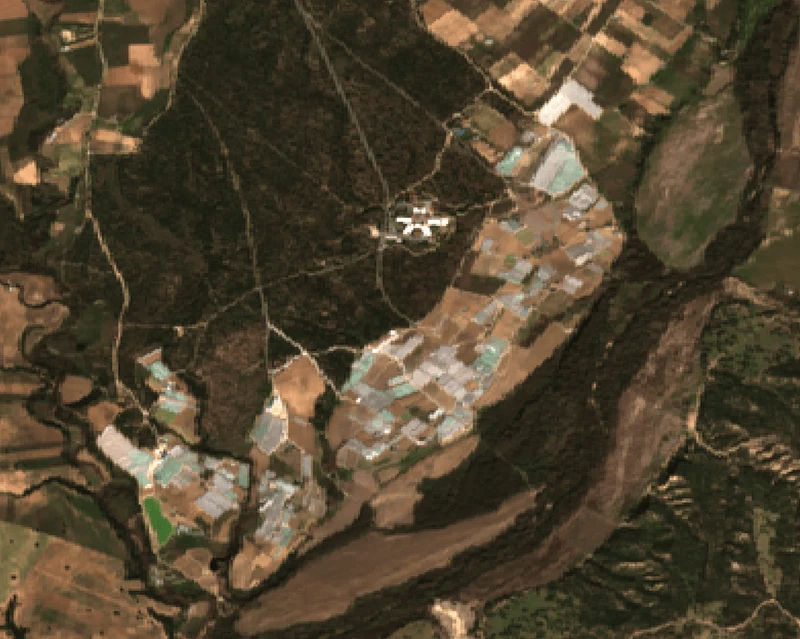
Freely available Sentinel‑2 time series can reveal change alongside a corridor: cleared ground, new road access or buildings, and other surface disturbances that often accompany construction.
By comparing images over several weeks/months, the imagery can flag ‘first‑seen’ dates and outline likely new structures which could trigger an alert for potential encroachment.
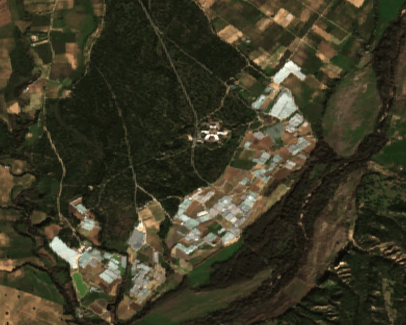
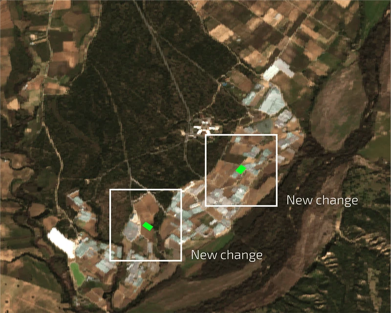
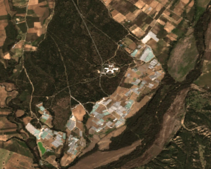
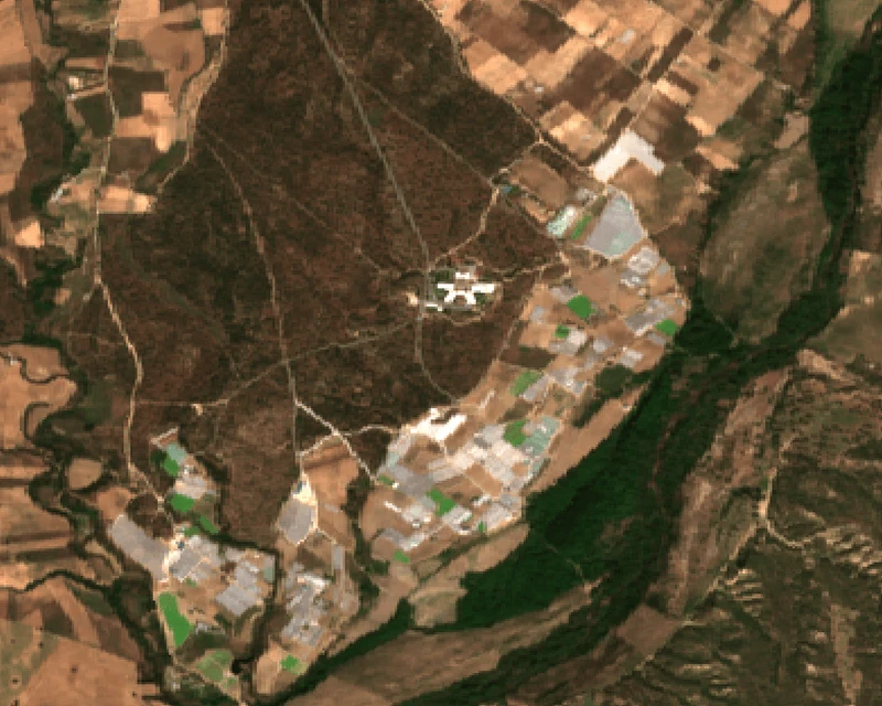
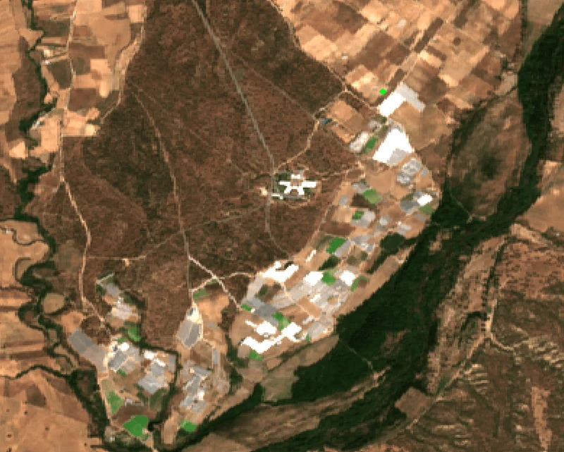
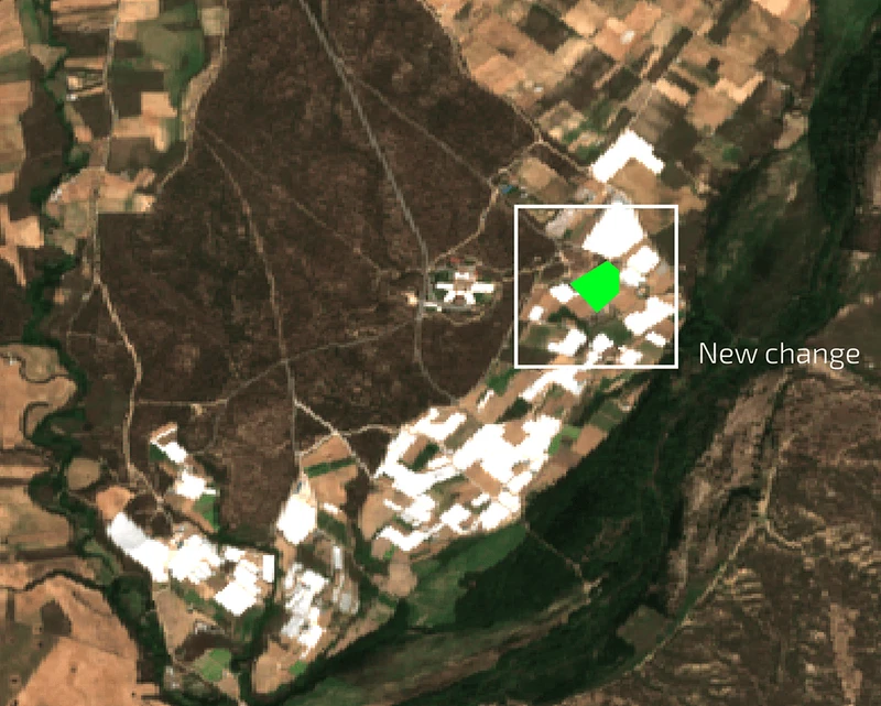
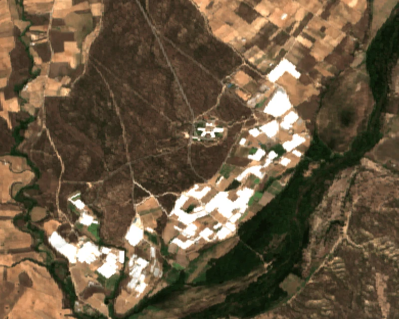
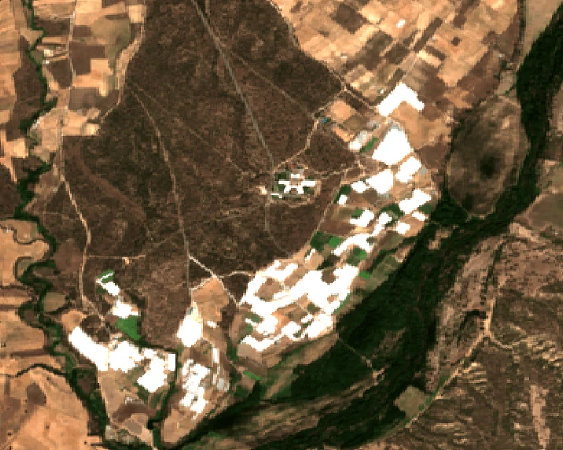
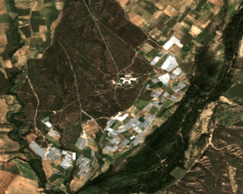
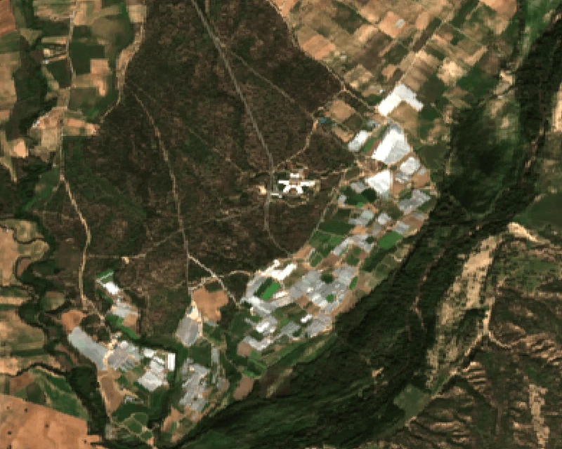
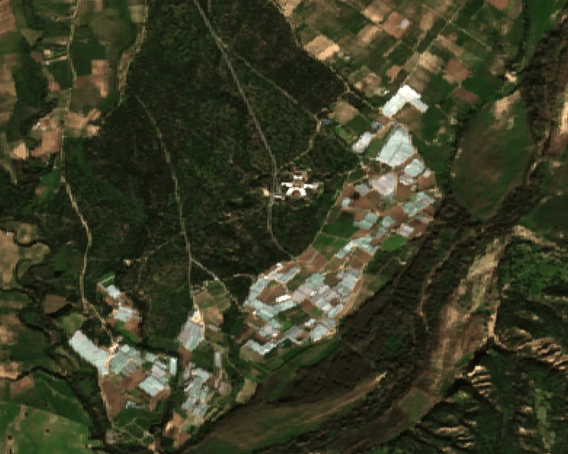
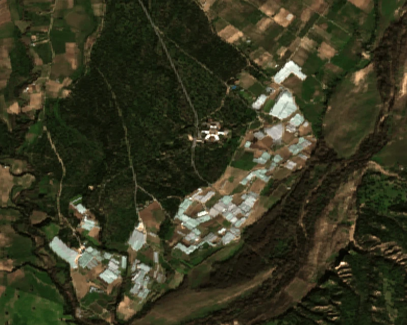
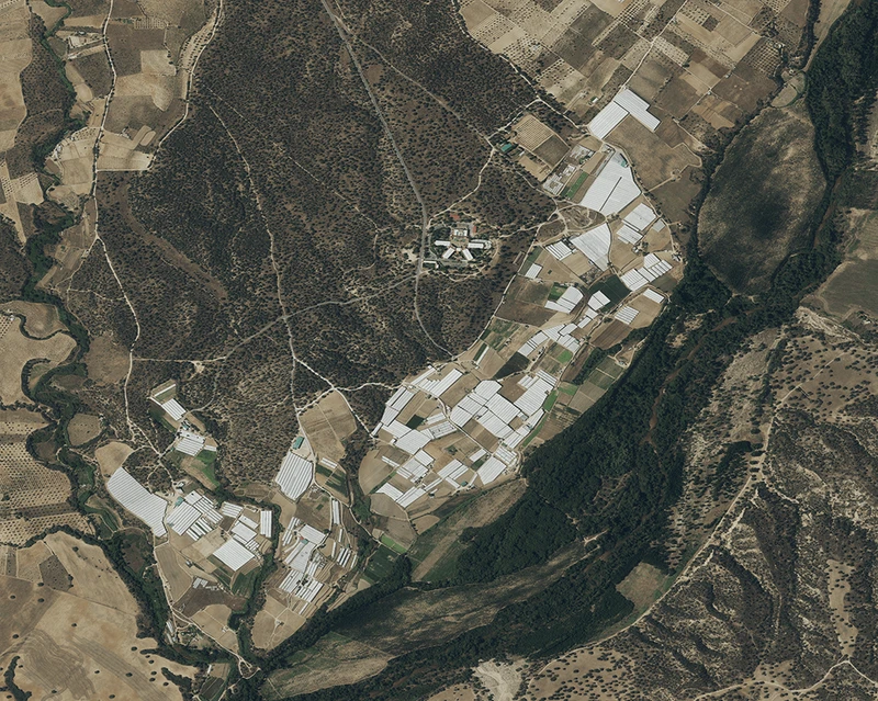
Copernicus Sentinel-2 imagery provides a cost-free first-level screening capability to detect potential right-of-way encroachments along power lines. However, its spatial resolution may not always be sufficient to confirm small-scale activities or support enforcement decisions. When a potential issue is detected, EO service providers can trigger targeted acquisitions of very-high-resolution (VHR) imagery (e.g. sub-metre) only for the specific location, enabling detailed validation and keeping the cost low as there is no need to monitor the entire network with expensive VHR data.
Transmission Corridor Encroachment Monitoring
This dashboard illustrates how satellite-based monitoring can support the management of transmission corridors.
Sentinel-2 imagery is used to screen the right-of-way for signs of new constructions. When a potential encroachment is detected, the system flags it as an alert with a location reference, first-seen date, and risk classification.
A map overlay shows the flagged location with the aim to help corridor managers focus field inspections on the locations that need attention most.
Who benefits
from Copernicus?
Satellite‑based monitoring enables systematic coverage of large networks: it reduces blind spots between patrols, helps prioritise scarce inspection resources, and creates an auditable record of corridor changes over time. Sentinel-1 and -2 specifically adds value as it is a free data source that can be used to monitor infrastructure anywhere in the world, triggering local inspections or the procurement of VHR data only when there is an indication of encroachment.
Benefits for the TSOs/DSOs:
Traditional ROW monitoring relies on periodic patrols, typically annual for high-voltage corridors. An illegal construction that begins shortly after an inspection can go undetected for months, by which point the building may be completed and occupied.
At that stage, enforcement becomes a long legal process involving demolition orders, occupant compensation and, in some cases, costly rerouting of grid infrastructure. Frequent Sentinel imaging, with revisits as often as every 5 days, changes this.
Construction activity is flagged within days of ground disturbance, when the site is still at foundation stage. Enforcement at this point is straightforward: a stop-work order and site clearance, resolved in weeks rather than years. The cost difference between early and late intervention is measured in orders of magnitude.
Furthermore, this capability extends beyond existing corridors. TSOs and DSOs planning grid expansion, such as new transmission lines or substations, must secure rights of way years before construction begins. These planned corridors are rarely monitored, yet unauthorised construction during the planning phase can delay or derail infrastructure projects.
Satellite monitoring allows operators to track land use changes along future routes at negligible marginal cost, flagging encroachment before it becomes an obstacle to grid development.
Detection timeline: annual inspection vs Sentinel-2 monitoring
Explore this
further with us
Copernicus Sentinel data and many Copernicus service products are free and openly available, making it easier to scale monitoring across multiple sites and regions.
EUSPA can help interested stakeholders explore which Copernicus datasets and indicators are most relevant for their operational needs, how they can be turned into dashboards, alerts or reporting tools together with EO service providers.